


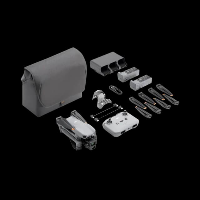
Parrot ANAFI 4K Drone
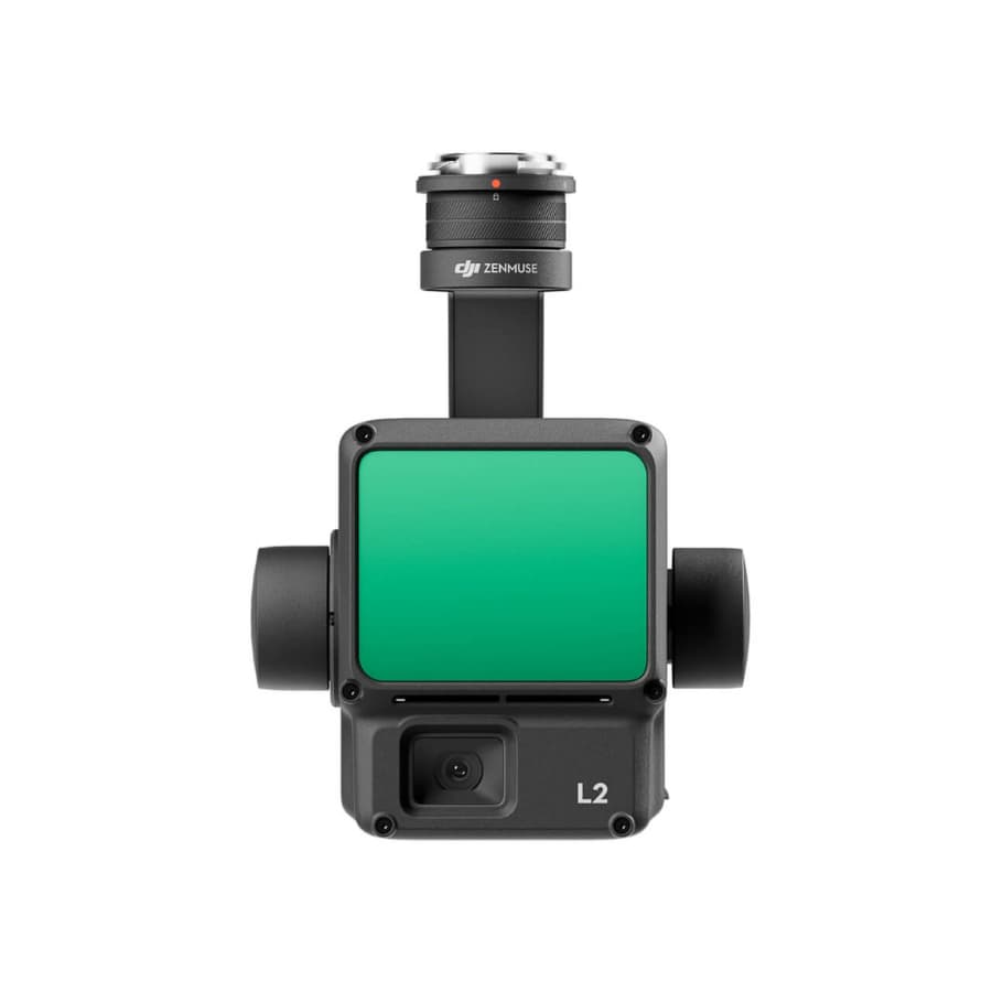
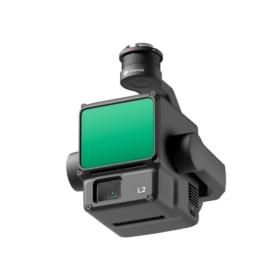
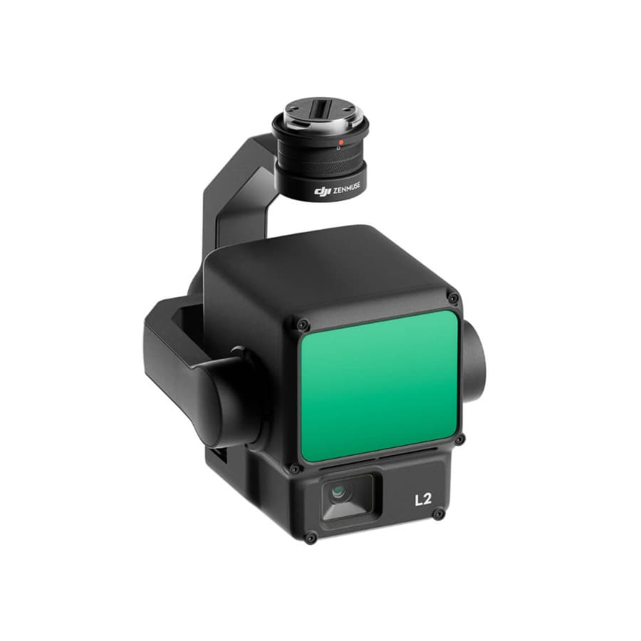
For worry-free aerial mapping and surveying, the Zenmuse L2 Worry-Free Basic Combo is the best option. This all-inclusive package comes with the Zenmuse L2 payload, which is optimized for effective LiDAR and RGB data collection, as well as necessary add-ons to improve your drone surveying experience. The Zenmuse L2 guarantees precise and thorough data collection for a range of applications, from environmental surveying to construction and infrastructure monitoring, thanks to its sophisticated LiDAR capabilities and high-resolution RGB photography. This combination is designed to offer a smooth and worry-free aerial surveying experience, making it the perfect option for professionals looking for accuracy and productivity in their mapping projects.
Given the speculative nature of the DJI Zenmuse L2, let’s expand on the imagined features of this advanced lidar and imaging system, envisioning it as the pinnacle of aerial surveying technology designed to meet the multifaceted demands of professional applications:
State-of-the-Art Lidar Module: The Zenmuse L2 is imagined to incorporate a cutting-edge lidar module, harnessing the latest advancements in lidar technology. This module is capable of capturing high-resolution, three-dimensional spatial data with exceptional accuracy, making it ideal for detailed terrain mapping, infrastructure inspection, and complex surveying projects over expansive areas.
High-Quality Integrated RGB Camera: Alongside its advanced lidar capabilities, the Zenmuse L2 features a superior RGB camera that captures vivid, high-resolution images. This integration allows for the generation of richly detailed, colorized point clouds, enabling precise visual documentation of the surveyed environment, enhancing the realism and utility of the constructed models.
Unprecedented Detail with Smaller Spot Size: With a spot size dramatically reduced to just one-sixth that of its predecessor at 100 meters, the Zenmuse L2 excels in detecting the minutest of objects. This unparalleled precision is crucial for producing highly detailed models and Digital Elevation Models (DEMs), offering significant improvements in environmental modeling and structural analysis.
Optimized for Night-Time Operations: Leveraging lidar’s independence from ambient lighting, the Zenmuse L2 is specifically optimized for effective operation in low-light conditions and during nighttime. This feature expands operational capabilities, allowing professionals to conduct uninterrupted surveying and inspection missions regardless of the time of day.
Extended Operational Range for Versatile Surveying: The Zenmuse L2 is designed to achieve impressive detection ranges, capable of gathering data up to 250 meters with 10% reflectivity and up to 450 meters with 50% reflectivity. This extensive range facilitates versatile surveying applications, from detailed object detection to broad-area mapping.
Designed for Elevated Performance at Optimal Altitudes: Operating optimally at an altitude of approximately 120 meters, the Zenmuse L2 strikes a perfect balance between extensive area coverage and the resolution of captured data. This optimal altitude enhances the system’s efficiency in data collection, ensuring comprehensive coverage and detailed analysis of the surveyed terrain.
Advanced Detection for Refined Environmental Analysis: The Zenmuse L2’s ability to identify and precisely map smaller features significantly enhances environmental analysis and modeling. This advanced detection capability is essential for creating intricate, high-fidelity models that accurately represent the physical world.
Accurate Digital Elevation Model Creation: Specializing in the generation of precise Digital Elevation Models, the Zenmuse L2 offers invaluable tools for topographical mapping and terrain analysis. These highly accurate DEMs are foundational for a wide range of applications, including geological studies, construction planning, and flood risk assessment.
Comprehensive 360-Degree Scanning for Complete Coverage: With its 360-degree scanning capabilities, the Zenmuse L2 ensures that no detail is overlooked, providing complete environmental coverage. This comprehensive scanning is critical for ensuring that every aspect of the surveyed area is accurately captured and represented in the resulting data.
Efficient and Detailed Data Processing Compatibility: The Zenmuse L2 is envisaged to seamlessly integrate with DJI Terra and other leading data processing software, facilitating efficient analysis and processing of the collected lidar and image data. This compatibility streamlines the workflow from data collection to analysis, enabling the rapid generation of detailed 3D models and maps.
Robust Design for All-Weather Operation: Engineered to withstand a variety of environmental conditions, the Zenmuse L2 promises reliable performance in adverse weather, ensuring dependable data collection capabilities year-round. This all-weather resilience is crucial for professionals who require consistent operational readiness.
Intelligent AI Algorithms for Enhanced Data Interpretation: Incorporating advanced AI algorithms, the Zenmuse L2 simplifies complex data interpretation tasks. Features such as object recognition and tracking are powered by these smart algorithms, significantly enhancing the efficiency and accuracy of data analysis, making the system a powerful asset for decision-making.
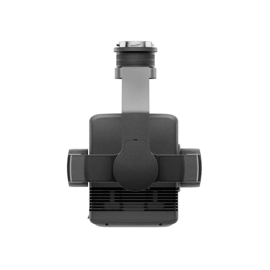
Seamless Drone Integration for Elevated Aerial Operations: Optimized for flawless compatibility with DJI’s Matrice series drones, the Zenmuse L2 is designed for easy attachment and high-performance aerial operations. This seamless drone integration ensures that professionals can leverage the full capabilities of their DJI drone platform, enhancing the overall effectiveness of their aerial surveying and inspection missions.
Secure Data Transmission for Protected Information Flow: With built-in measures for secure data transmission, the Zenmuse L2 safeguards sensitive mission data against potential security breaches. This focus on data security is paramount for operations involving critical infrastructure, sensitive environmental sites, and other areas where data integrity is of utmost importance.
This expanded feature set portrays the Zenmuse L2 as a visionary leap in drone-based lidar and imaging technology, designed to offer professionals an unparalleled tool for capturing and analyzing spatial data with unmatched precision and flexibility.


.webp&w=640&q=75)
%2034%20Mins.webp&w=640&q=75)


.webp&w=640&q=75)

