How Robots Use LiDAR and Cameras to Understand the World
Forget the jargon for a minute. Imagine a small delivery robot rolling down the corridor of a hospital or an office. A trolley is parked on the left, a door opens ahead, and someone steps out holding a cup of chai.
The robot has about a second to decide what to do. Let's slow that second down and see who in its sensor team is doing what.
What the LiDAR reports: "There's a solid shape 2.3 metres ahead, standing upright, moving left. The wall is on the right, the trolley is on the left, and the gap between them is narrowing."
What the camera reports: "That shape is a person. The object on the left is a trolley. The door ahead is open."
What the software decides: "A person is entering my path from the left. Slow down, keep the right side clear, wait one second, then continue."
Neither sensor made that decision alone. LiDAR knew where. The camera knew what. The software joined the two.
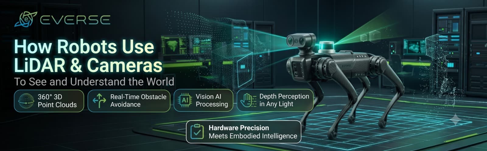
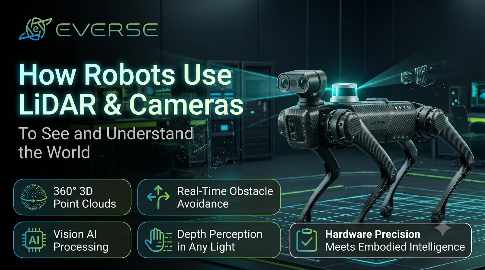
LiDAR, short for Light Detection and Ranging, fires laser pulses and times how long they take to bounce back. Repeat that thousands or millions of times a second and you get a point cloud, a 3D dot-map of everything around the robot.
It's superb at shape and distance: walls, gaps, steps, slopes. But a point cloud is only geometry. It can't tell a person from a pillar of the same size.
A camera captures colour, texture, signs, faces and text, and computer vision learns to label them. That's how a robot knows a door from a window or a trolley from a wheelchair.
Cameras struggle with one thing, though: measuring distance cleanly. Researchers can estimate depth from images, but one team found image-based estimates were far noisier than LiDAR measurements, so they chose to combine the two instead.
This pairing isn't a trend. It's a response to a real engineering problem. A major review of camera and LiDAR fusion points out that the two have complementary characteristics, which is why combining them works better than most other sensor pairings. Another paper puts it simply: fusion lets you keep each sensor's strengths and cover for its weaknesses.
Back to our robot. Suppose it has never seen this building. Think of arriving in a new city without Google Maps: you need a map to find your way, but you can't draw a map until you know where you are.
SLAM (Simultaneous Localisation and Mapping) cracks this by doing both at once. The robot moves, draws the map as it goes, and keeps correcting its own position on that map. LiDAR, cameras or both can supply the data.
This isn't science fiction on the horizon. The International Federation of Robotics says India installed a record 9,100 industrial robots in 2024 and ranks sixth in the world. Its later update shows 10,500 installations in 2025, up 15%.
Yet the base is still small. India's total stock stood at 52,570 robots, while the five most automated countries each have roughly 300,000 to 2 million. The gap is the opportunity.
Humanoid robots are growing even faster from a smaller base. Counterpoint says shipments passed 22,000 in the first half of 2026, up nearly 300% year over year, with demand still led by entertainment, research and data collection. In other words, labs, universities and startups are the early customers.
Neither sensor is magic:
- LiDAR can be fooled by glass, mirrors and very shiny surfaces
- Cameras struggle with glare, darkness and sudden light changes
- Both need careful calibration and enough computing power to work in real time
That's why teams keep adding senses. Heat sensing is a good example. Our guide to how thermal drones detect problems invisible to humans shows how a thermal camera reveals things neither a normal camera nor LiDAR would pick up.
- Which sensors are built in? LiDAR, RGB and depth cameras give very different abilities
- How open is the software? Support for common tools like ROS saves months of work
- How much onboard computing is there? Real-time perception is processor-hungry
- What range and field of view does the LiDAR offer? This decides which spaces the robot can handle
- Who repairs it in India? Great hardware without local support quickly becomes a very expensive paperweight
The leap that matters isn't "robots can now detect objects". It's "robots can now understand that this object is a person who might step into their path". Better sensors made that possible, and clever software made it useful.
At Everse, we provide advanced robotics and autonomous technology for research, education, development and real-world use across India. If you're planning a perception project or building your first robotics lab, tell us what you want the robot to do, and we'll help you choose the right sensors and platform.