
Innovative Aerial Solutions for Infrastructure & Environment
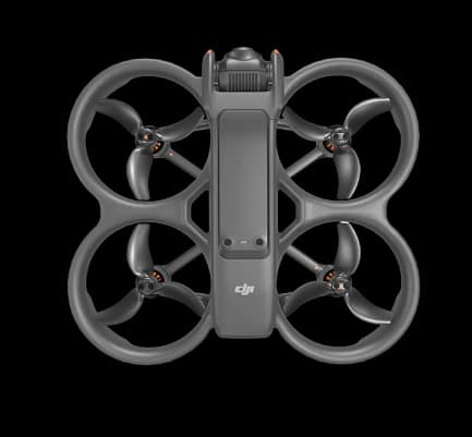
Advanced Drone Technology
Safety-Focused Operations
High-Quality Data Output
Fast Turnaround Time
Multi-Sector Expertise
End-to-End Service Delivery
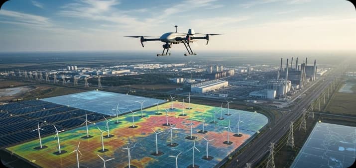
EVERSE delivers advanced drone-based services that support infrastructure development, environmental monitoring and industrial inspections across India. With proven expertise and modern UAV technology. We help organisations make faster, safer and data-driven decisions.
Why Choose EVERSE
EVERSE is a trusted partner for organisations seeking reliable, technology-driven drone services across infrastructure, environmental and industrial projects. We combine advanced drone technology with a strong focus on safety, accuracy and efficiency to deliver dependable results. Our team brings hands-on experience across multiple sectors, ensuring that every project is executed with precision and professionalism. By offering end-to-end service support from planning and data capture to final outputs we help clients save time, reduce operational risk and make informed, data-driven decisions. With EVERSE, you gain a partner committed to quality execution, transparent processes and consistent service delivery.

Our Drone Services

Comprehensive Drone Solutions Across Sectors EVERSE specialises in end-to-end drone services for surveying, inspection, mapping and monitoring. Our solutions are trusted by government bodies, private enterprises, industrial clients, offering accuracy, efficiency and reduced operational risk. We combine technology, experience and domain understanding to deliver results that meet real-world requirements.
Comprehensive Solutions for Infrastructure, Environment & Industrial Monitoring
EVERSE specialises in drone-based solutions for surveying, mapping, and inspection across India. Trusted by both public and private sectors, our advanced UAV technology delivers accuracy, efficiency and actionable insights across diverse industries.
Get Reliable Drone Services with EVERSE
Contact EVERSE for fast, accurate and reliable drone services across India. Our team is ready to support your project with professional UAV solutions.